Rivers can supercharge Gulf hurricanes, study finds
Published in News & Features
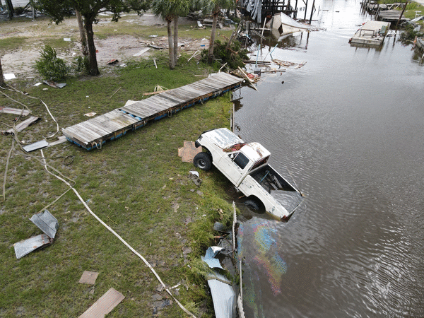
TAMPA, Fla. — Hurricane Idalia caught forecasters by surprise in 2023 when the storm rapidly intensified into a major hurricane overnight as it hurtled toward Florida’s west coast.
The Gulf of Mexico was record-hot that summer, fueling tropical activity and a mass coral reef die-off, but Idalia’s jump from a Category 1 to a Category 4 still seemed extreme to experts.
A new study led by researchers at the University of South Florida’s St. Petersburg campus has found another unreported boost to the deadliest storm to strike the U.S. that season: fresh water from nearby rivers.
Their research also pointed out a blind spot in forecasting hard-to-predict storm intensification that has become increasingly common in recent hurricane seasons.
Weeks before Idalia formed, intense rain fed rivers along the Florida Panhandle and coastal Alabama, flushing a massive plume of fresh water into the Gulf of Mexico, researchers found. This clear river water mixing with the salty Gulf created a barrier that trapped ocean heat and helped supercharge a strengthening Idalia, said Chuanmin Hu, an author of the study and professor of oceanography at the university’s College of Marine Science.
These plumes aren’t uncommon in the gulf, which is fed by 33 rivers. But this one’s size, which stretched from the Mississippi River to the Florida Keys, combined with Idalia’s path north to create conditions ripe for rapid intensification.
“In order for this to happen, you need to have the hurricane at the right time, at the right location, and that is pretty rare,” Hu said. “But this time, it’s like a perfect storm.”
Hurricanes undergo rapid intensification when wind speeds catapult more than 35 mph within 24 hours. Ocean heat acts as an energy source for hurricanes, allowing them to strengthen quickly over especially hot patches. But a storm’s high winds often mix up cooler water that lies deeper below the surface, sapping its energy.
Idalia’s hurricane-force winds weren’t powerful enough to disrupt waters trapped beneath the freshwater plume, Hu said.
“This barrier layer reduced mixing of ocean water so the cold water was not brought up to the surface enough to cool down the hurricane,” he said.
Hu and his team came across their discovery while studying harmful algal blooms. One of their underwater gliders — fully autonomous vehicles used to gather ocean data — passed just over 40 miles away from Idalia’s eye and another was swallowed in the storm’s path. The devices collected salinity and temperature data that showed how the storm had benefited from the freshwater plume.
Hu was careful not to overstate river plumes’ significance to hurricane strength, but said experts need to pay attention to every ingredient in a forecast.
Current hurricane models that are relied heavily upon by national forecasters take into account factors like vertical wind shear, water temperature and air moisture, but neglect others like the water’s salinity, Hu said. For example, high wind shear, which tears down hurricane strength, was expected to hamper Idalia as it approached landfall, forecasters said at the time.
“There are many things that can impact hurricane trajectory and intensity, so this is only one of those,” he said. “This is just one story, but it’s important for the gulf.”
_____
©2025 Tampa Bay Times. Visit tampabay.com. Distributed by Tribune Content Agency, LLC.


Comments